If you didn't already know, Korea is the only divided country in the world. After World War II, the country was was divided at the 38th parallel between the USSR and US. In 1950, the communist North invaded the South. Fighting lasted until 1953, when the two sides signed a ceasefire, not a treaty, meaning they are technically still at war. The dividing line, known as the DMZ (de-militarized zone) is an area about 2.5 miles wide where each side has many troops stationed to protect against an invasion.
The first place we visited was Imjingak, the farthest place north civilians are allowed to go before they enter the DMZ. This is the Freedom Bridge, where prisoners were exchanged after the armistice.

Sammy got a nice picture with one of the guards. Sammy had a fake gun in his backpack right then from his Halloween costume from the night before. The DMZ was probably not the best place to have a loaded weapon.


Freedom Bridge is also where an old railway line connected the North to the South.

A new railway opened up about 10 years ago that connects the North and South. More on that later.

Freedom Bell.

Of course there's an amusement park to capitalize on all the visits to the DMZ. It's probably called Freedom Park.

Freedom Tree?


This is why so many North Koreans try to defect to the South.

Inside the DMZ there are two "Unification Villages." I still don't really understand how they came to be, but we had a nice little lunch here. All of the villagers seemed to speak English very well. This is "Tiger Dog."

Bunker or kimchi storehouse?

Kids mashing stuff.

During the war, the North built underground tunnels to invade Seoul. There have been 4 tunnels found so far, but they think there might be dozens more. This is outside the 3rd tunnel. This tunnel was discovered in 1974 after a North Korean defector gave up the location. The tunnel was big enough for one or two people to walk through, and under 6 feet tall at many points. However, they estimate it would've taken only an hour to move 10,000 troops to Seoul from the north in under an hour. The North also tried to cover the walls with charcoal to make it look like a coal mine. They wouldn't allow any pictures inside the tunnel.


This is Dora Observatory, the lookout area to North Korea.

Sammy, Tim, and I.

The extremely hazy day did not provide for good photos of North Korea. If you can tell, there are hardly any trees on the North side. Apparently the North cut them down to be able to catch defectors going to the South.


That tower near the bottom right corner is in Kijong-dong, also known as the "Propaganda Village," on the North Korean side of the DMZ, made give the impression that North Korea is a prosperous nation. They claim to have a couple schools, a farm, and apartments there, but as far as we can tell it's uninhabited and only used for military surveillance. Until 2004, there were loudspeakers blasting propaganda to the South encouraging them to come to the North. That tower is actually a part of a flag competition with the South, who have their own tower about a mile away on the other side of the DMZ. Gotta give it to the North though, they have the tallest flagpole in the world.


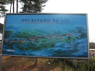
This is the train station that now connects the North and the South. The train travels to Kaesong, the joint industrial area in North Korea every so often. I was able to buy a ticket for 50 cents and a passport stamp for this station if I wanted to come back and go to North Korea when they reunite. Doesn't look like that will happen for a long time.

I wish.


While we were standing on the tracks, we noticed one of the tour members was missing. Turns out she somehow got on the train with her ticket and thought it was part of the tour. What an idiot. Luckily though, the train was headed to Seoul, not North Korea. The guides thought it was hilarious, and we just left without her. Anyways, here's W at Dorasan.


 Sammy, Chris, and I wandered off the path and went straight up one side of the mountain. We also did a little "boulder bowling" and had a contest to see who could push the biggest boulder down the mountain. Very manly stuff.
 This is the view atop the mountain we climbed. The white thing in the middle is the end of a cable car you can take from the bottom of the mountain. I guess it's a good spot to see a waterfall from there.
 Right after this picture I threw one more rock down the mountain. It wasn't the biggest one of the day, but it crashed on one side of the ledge we were standing on and took half of the ledge off and created a massive rock slide. We were speechless for about a minute and decided that was the end of Boulder Bowling. I won the contest.
 This is the mountain from two pictures ago. Great view of Seoraksan Park but it was so windy at times I had to lie down or risk being blown away.


 Buddhist Nazis?
 On the second day we did another hike at a different place in Seoraksan. Here's another temple.

 Richard playing with a "mushroom."
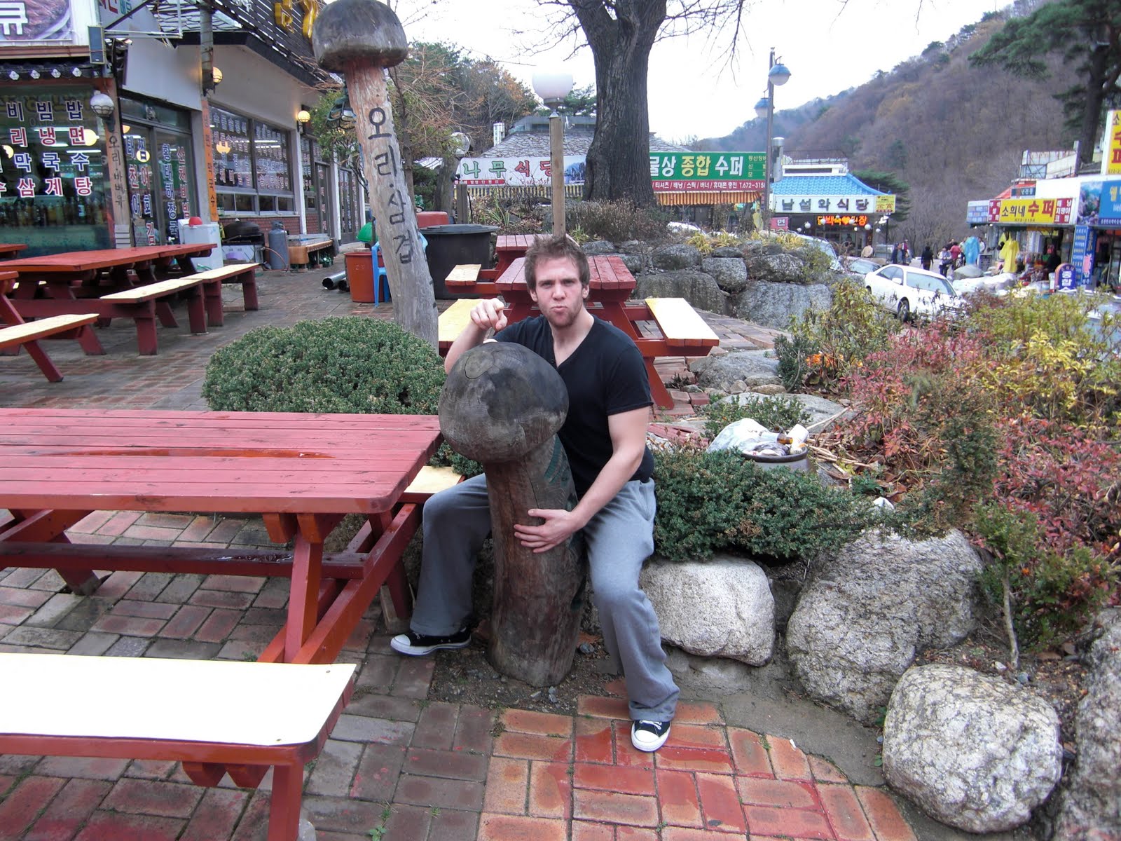 Richard playing with some dogs at a bus stop on the way home. Mom is a little wary of this intruder.
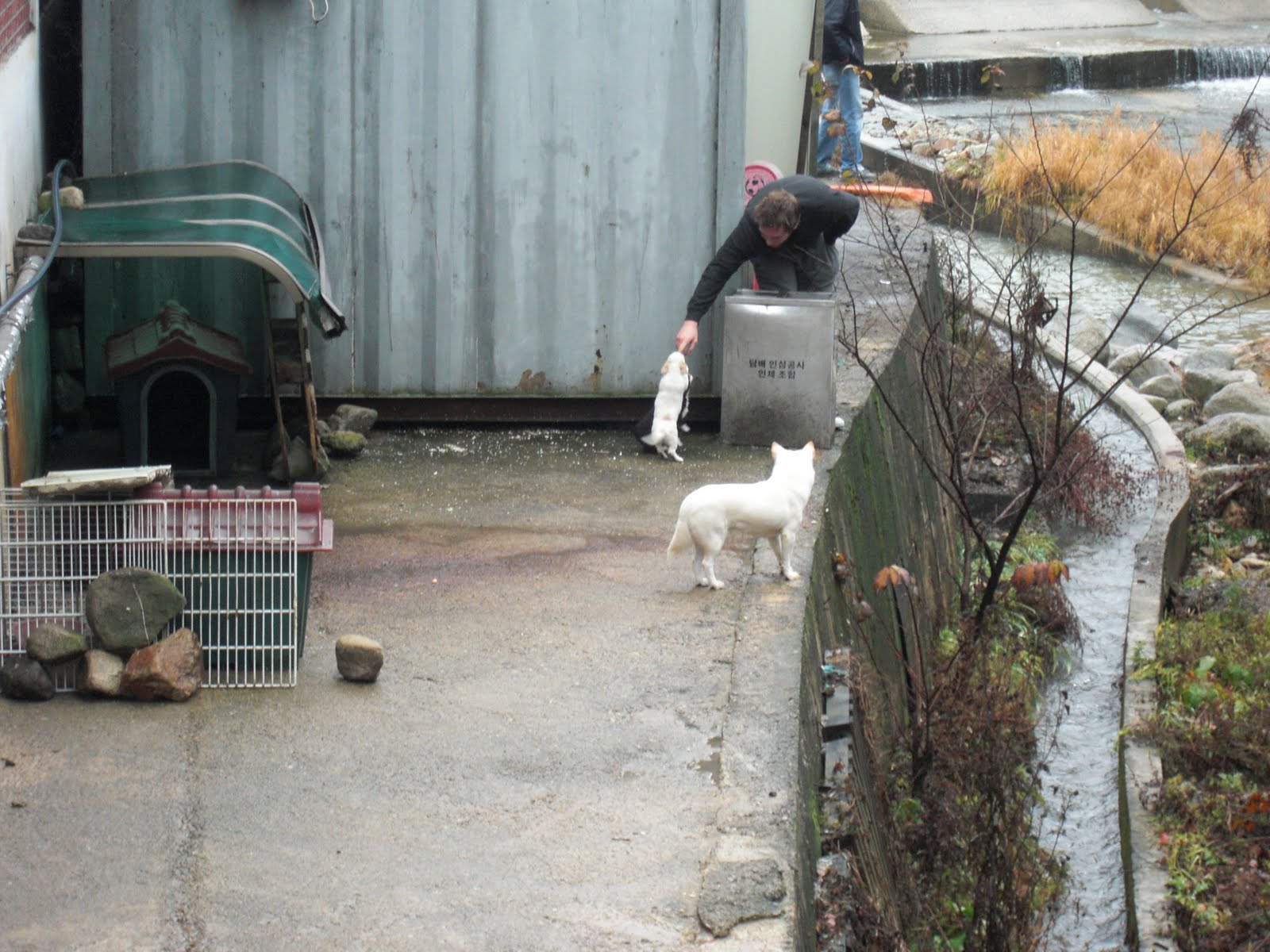


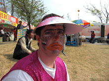
 We saw the T-1000 from the "Terminator" directing traffic at the park.